HISTORICAL SPATIAL INTELLIGENCE • VIP EARLY ACCESS
Stop Wandering Blindly.
The Precision Radar for Field Explorers Target 1779 Sites with Absolute Precision.
Locate 18th-century settlements, coaching taverns, and lost watermills before you begin your field expedition. TERX AI overlays authentic 1779 military surveys directly onto modern terrain.
🏛️ 1.9M+ Archival POIs🎯 Sub-Meter Precision🛰️ Terrain Micro-Relief🌲 100% Offline in the Wild
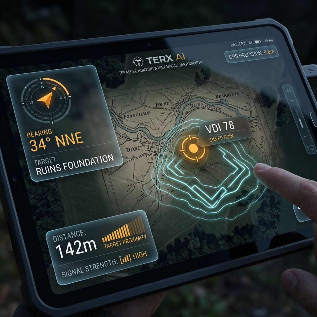
1779 HISTORICAL OVERLAY
⌚SMARTWATCH BLE SYNC
Target: 1779 Estate Ruins
34° NNE•142м•VDI 78
1779Historical Surveys
1.9M+Imperial POIs
< 1mTerrain Clarity
100%Offline Woods Sync
Engineered for Demanding Field Research.
Everything you need to localize vanished historical sites, built for rugged wilderness expeditions.
1779 • 1860
Von Mieg 1779 Precision Maps
Historical military surveys aligned with modern terrain. Target forgotten tavern courtyards and watermills with sub-meter accuracy.
Micro-Relief
Hidden Terrain Micro-Relief
Spot buried foundations, cellar pits, and carriage ruts concealed beneath dense forest and overgrowth.
100% Offline
100% Offline Wilderness Navigation
Download maps and historical targets directly to your phone for complete offline navigation deep in remote woods.